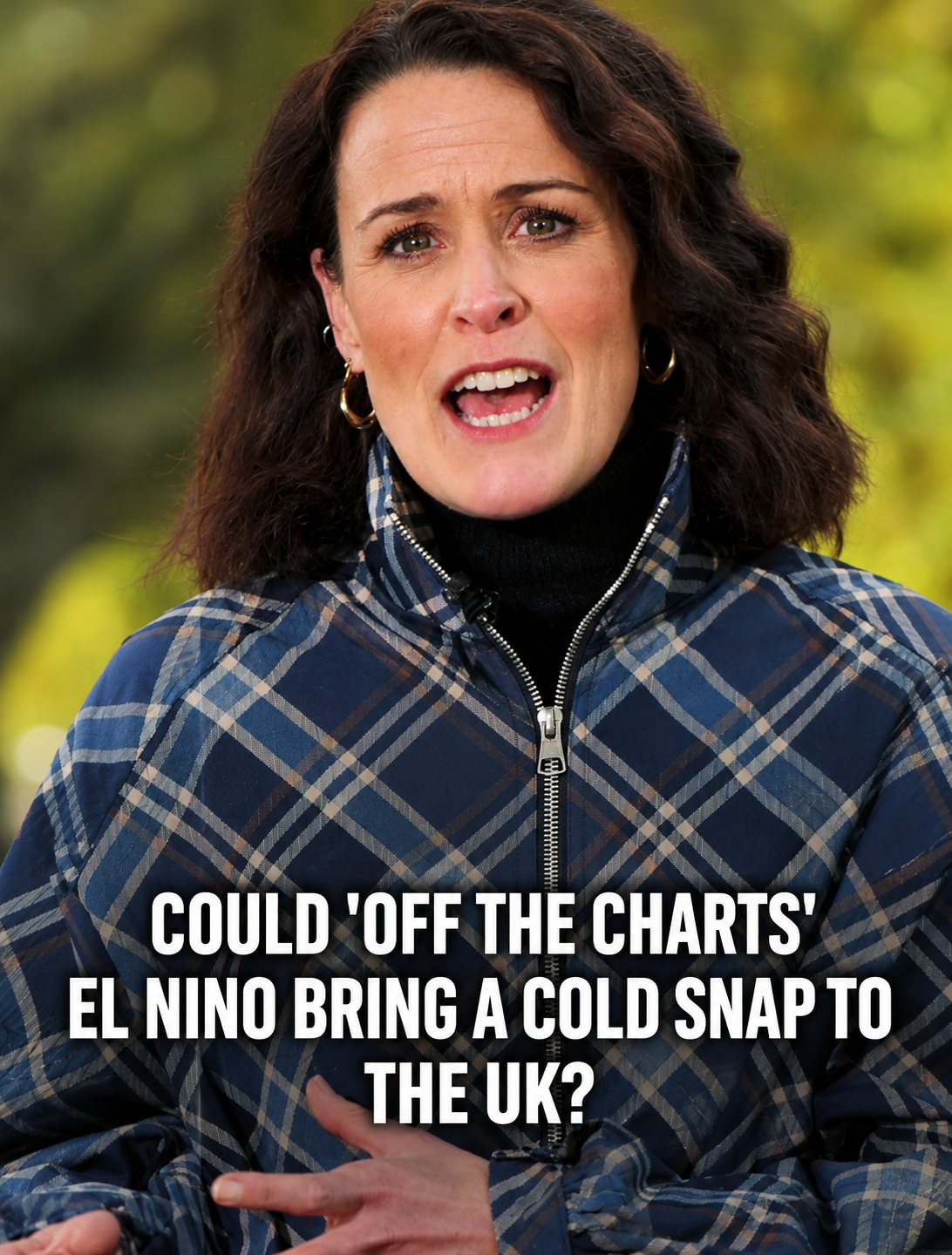
An unusually powerful El Niño could influence temperatures, rainfall, wildfires and storms across several regions in the coming months.
Scientists Warn of an Exceptionally Strong El Niño
A potentially powerful El Niño event is raising concerns among meteorologists about the future of global weather patterns. Scientists warn that the phenomenon could contribute to extreme heat, changing rainfall patterns, wildfires and flooding in several parts of the world, including Indonesia, Peru and regions around the Pacific Ocean.
The World Meteorological Organization (WMO), the United Nations agency responsible for international cooperation on weather and climate, monitors El Niño and other large-scale climate patterns. Scientists are particularly concerned about the interaction between a strong El Niño and the long-term warming of the world’s oceans.
El Niño is a natural climate phenomenon, but its effects can be more significant when it occurs against a background of rising global temperatures. Researchers are monitoring how these combined influences could affect communities, ecosystems and infrastructure in the months ahead.
What Is El Niño and How Does It Affect the Weather?
El Niño is part of the El Niño–Southern Oscillation (ENSO), a natural climate cycle involving changes in sea surface temperatures and atmospheric conditions across the tropical Pacific Ocean.
During El Niño, warmer-than-average water develops across parts of the equatorial Pacific. This changes the exchange of heat between the ocean and atmosphere, affecting wind patterns, rainfall and temperatures in different parts of the world.
The phenomenon typically occurs every two to seven years, although its strength and duration vary. Its effects are not identical everywhere. Some regions may experience hotter and drier conditions, while others may face heavier rainfall, flooding or changes in storm activity.
Why Ocean Temperatures Matter
Sea surface temperatures are an important indicator of El Niño development. According to widely used monitoring criteria, El Niño conditions are associated with sustained sea surface temperatures at least 0.5 degrees Celsius above average in a designated region of the equatorial Pacific, alongside other atmospheric indicators.
However, the strength of an El Niño event cannot be determined from a single temperature reading alone. Scientists also assess how long the warming persists, where it occurs and how the atmosphere responds.
Climate Change Could Increase the Risks of Extreme Heat
One of the main concerns is that El Niño is developing in an ocean and atmosphere already affected by human-driven climate change.
Global warming has increased average temperatures and contributed to the long-term warming of the oceans. When a strong natural climate pattern occurs in this warmer environment, the combined effects may increase the likelihood of unusually high temperatures in some regions.
Scientists emphasize that El Niño and climate change are different processes. El Niño is a naturally occurring climate cycle, while current long-term global warming is primarily driven by greenhouse gas emissions from human activities.
Their effects can overlap, making it important to examine each extreme weather event using observations, climate data and scientific attribution studies rather than assuming that every event is caused by El Niño alone.
Indonesia and the Pacific Region Face Potential Weather Disruptions
Indonesia is among the countries that can experience significant rainfall changes during El Niño events. In many parts of the country, El Niño is associated with an increased risk of drier conditions, although the impact varies by region and season.
Extended dry periods can increase pressure on water supplies, agriculture and forests. When vegetation becomes unusually dry, the risk of landscape and forest fires may also rise, particularly when land management practices and other local factors contribute to fire activity.
Across the eastern Pacific, El Niño can also influence tropical cyclone activity and rainfall patterns. Some areas may experience heavier rainfall and flooding, while other regions face drought or reduced precipitation.
The precise consequences depend on the evolving climate conditions, local geography and other atmospheric systems. Authorities and residents should therefore follow official forecasts and regional weather alerts rather than relying on broad seasonal expectations alone.
What Could El Niño Mean for the United Kingdom?
The relationship between El Niño and weather in the United Kingdom is complex. Although El Niño can influence atmospheric circulation over large distances, its effects on British weather are less direct and less consistent than those in some tropical regions.
UK weather is also influenced by the jet stream, North Atlantic conditions, atmospheric pressure systems and other climate patterns. These factors can affect the timing and intensity of rainfall, wind and storms.
Seasonal outlooks may identify possible changes in the likelihood of certain weather conditions, but they cannot reliably determine every storm or provide precise local forecasts months in advance.
Anyone planning travel or outdoor activities should check forecasts from the UK Met Office and follow official warnings when severe weather is expected.
Why Predicting the Full Impact Remains Difficult
Despite advances in climate science, forecasting the exact global consequences of an unusually strong El Niño remains challenging.
Weather systems interact with one another in complex ways. Ocean temperatures, atmospheric circulation, regional geography and existing climate trends can all influence how an El Niño event develops and where its effects are felt.
Scientists use satellite observations, ocean monitoring systems, weather stations and climate models to assess these changes. Forecasts are updated as new data becomes available, helping governments and communities prepare for possible risks.
It is important to distinguish between seasonal climate projections and short-term weather forecasts. Seasonal projections describe probabilities over broader periods, whereas short-term forecasts provide more specific information about expected conditions in particular locations.
How Communities Can Prepare for Extreme Weather
Although the precise effects of El Niño remain uncertain, practical preparation can help reduce the risks associated with extreme weather.
- Follow official weather alerts: Check national meteorological agencies for current forecasts and warnings.
- Prepare for heat: Stay hydrated, limit strenuous outdoor activity during extreme heat and check on vulnerable people.
- Reduce fire risks: Follow local fire restrictions and avoid activities that could ignite dry vegetation.
- Plan for heavy rain: Monitor flood warnings, keep drainage areas clear where safe and avoid driving through floodwater.
- Stay informed about storms: Secure loose outdoor objects when advised and follow local emergency instructions.
Preparation should be based on the hazards relevant to each location. Communities experiencing drought require different measures from those facing flooding or severe winds.
Conclusion: Monitoring El Niño Will Be Essential
An unusually strong El Niño could have important implications for global weather, particularly when combined with the effects of long-term climate change. Potential impacts include changes in regional temperatures, rainfall, wildfire risk and tropical cyclone activity.
However, the scale and distribution of these effects will depend on how the climate system evolves. Scientists will continue to monitor ocean temperatures and atmospheric conditions to improve forecasts and provide updated assessments.
For the public, the most useful response is to stay informed through reliable meteorological sources and take appropriate precautions when local weather warnings are issued.